Nothing better than running a long loop route through the mountains. This one is a classic in my opinion (other than the mile long death of a bush whack straight down hill). I have done this one once before, exactly a year ago. I added on a little more this year, starting from the house and running the first 4.5 miles on the BST, rather than driving to Beus Canyon trail head.
The route is best described by the Garmin link and the pictures below. Went into it planning to go at an all day (100 mile) pace. Beus Canyon is pretty much a hike (nasty overgrown trail and steep). Bit of billy goating between Mt Ogden and Mt Allen. Nice run down through Snowbasin (tried to stay out of the way of the 50K/100K mtn bike race going on).
Great run, total blast!!. Love a great loop and a door to door, got 'em both out of this one! Check it out.
Run total 25 miles, 7250 vert.
Week totals: 64 miles, 16,400 vert or so.
Started and stopped the watch at the trailhead so need to add 1.5 miles and 150 vert for the out-n-back from home
(15:34 pace, sounds slow I know, but I am totally happy with it given some of the very slow sections, (bushwack, ridge hike) and the overall nasty terrain. I had a lot left in the tank at the end and that is close to the pace I think I can handle at the Bear)
http://connect.garmin.com/activity/46522611 (Earth or terrain setting on the map is best)
Beus Canyon (almost tropical in there, very humind, no wind lots of wet ferns urrhh!)
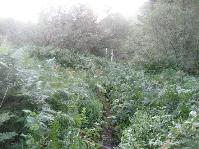
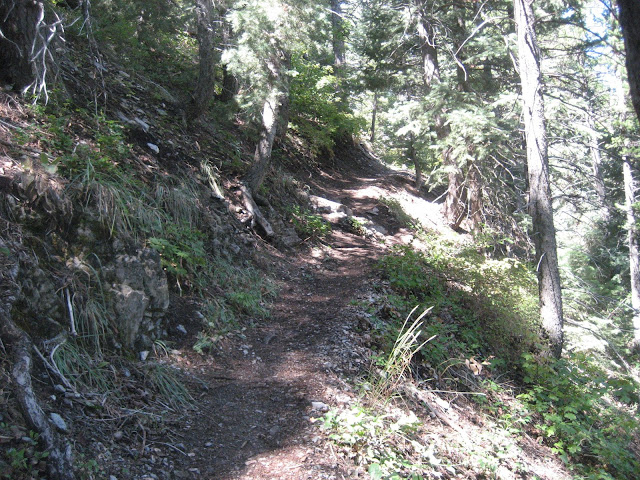
Overgrown upper Beus trail (yep its there, now I remember why I only hike this trail every six months or so)
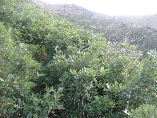
Awesome section above tree line heading to Mt Ogden/Allen
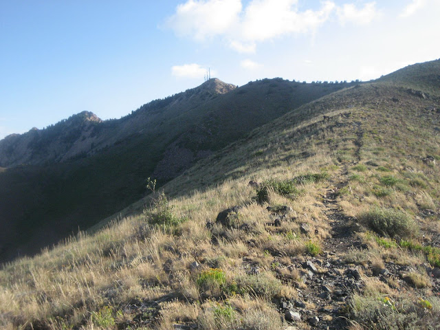
View from Mt Ogden looking north at Allen, lewis, BL (windy!!)
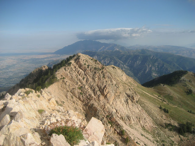
Looking east to the Ogden Valley and Snowbasin (route descends to parking lot visable in center of pic) :)!!!
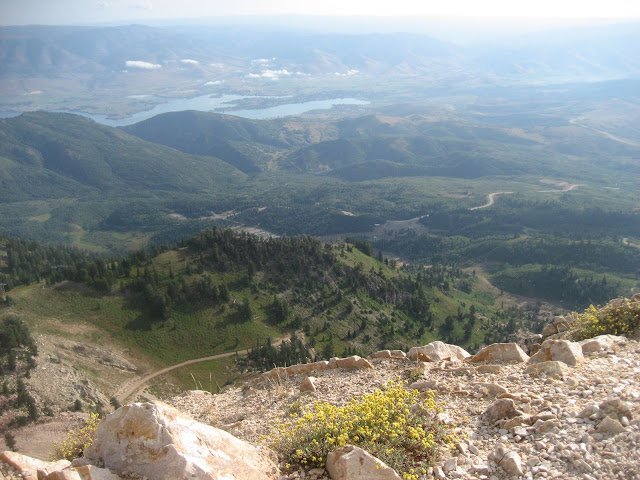
Big drop to the east. (windy!!!=sketchy)
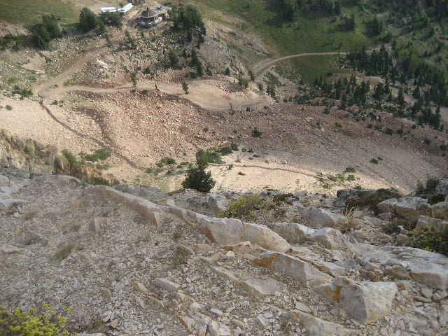
Lookin back at Mt Ogden on the way across the Allen, route follws the spiney ridge.
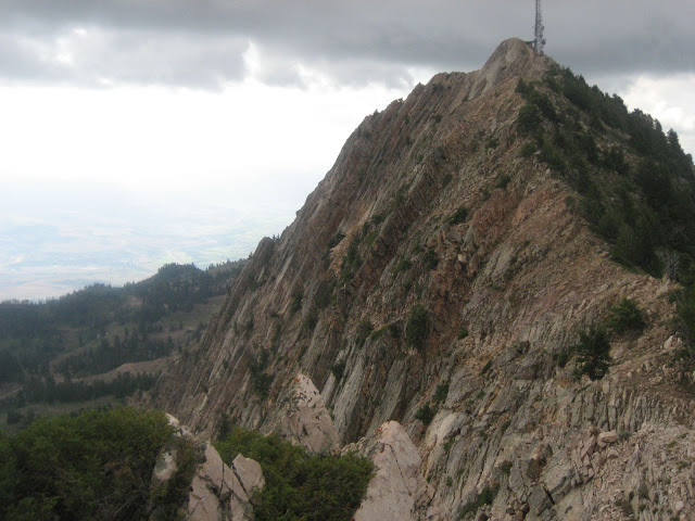
Looking down Cold Water canyon from Allen (route descends to Snowbasin and climbs back up to the ridgeline opposite of view, red line is the bushwack from he-double L)
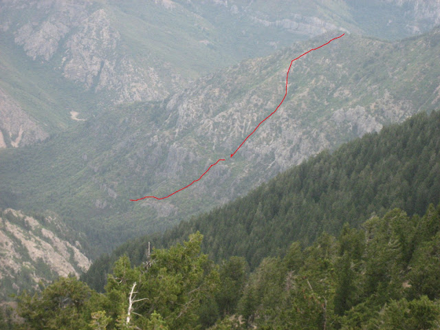
Top of ridge (Cold Water overlook) from previous pic looking down the line marked (hold your nose and jump in!)
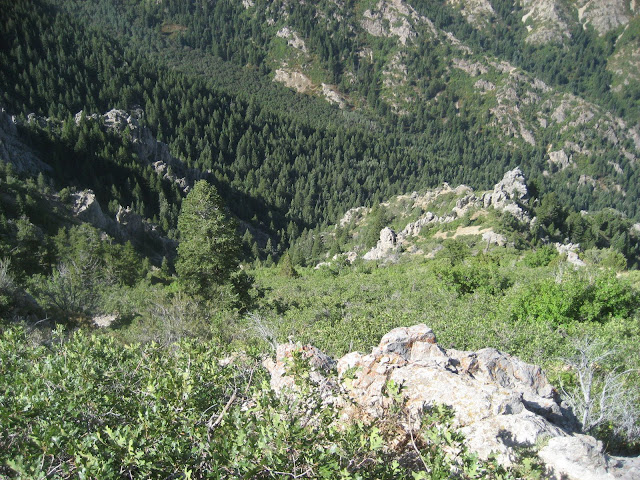
View looking out from Cold Water overlook (Mt allen can be seen in the distance)
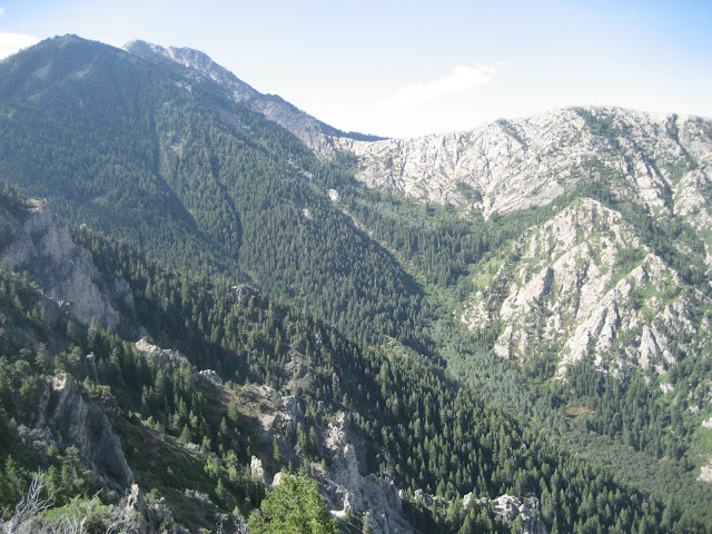
View looking up Cold Water Canyon from Indian Trail (Lots of people out hiking today, can't blame them it was beautiful!)
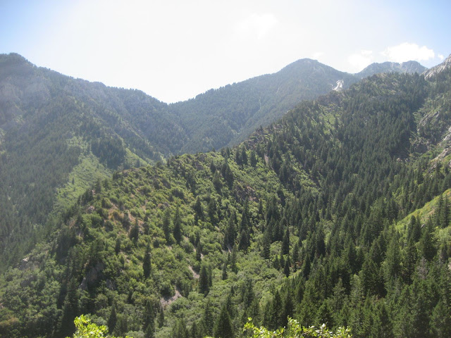
Looking back up Taylor Canyon to where I had been from the BST ( allen/ogden) (this is taken at exactly where the loop connects)
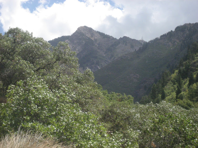
Perfect single track bliss of the Indian Trail
|