Pic's of the trip up! check out this link. This is the trail described below.
Garmin had 21.3 miles RT, and 9870 ft climb (mmmm, doubt it, probably more like 8000)
Looking back to the trial head at Ke'e Beach from the first 1/4 mile
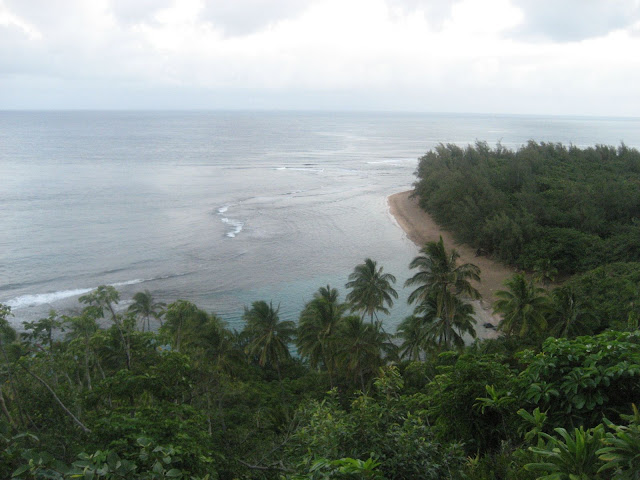
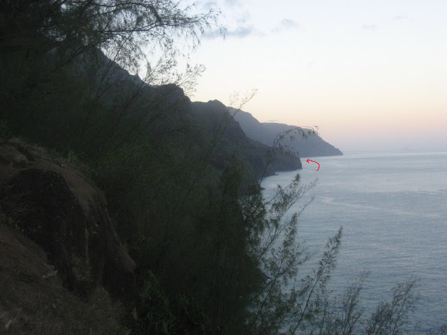
Looking down the Napali Coast from the same spot as above (arrow points to the destination at Kalalau Beach)
Hanakapiai Beach 2 miles in
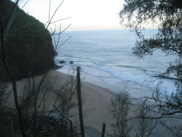
Looking back to trail head from mile 5-6 ish
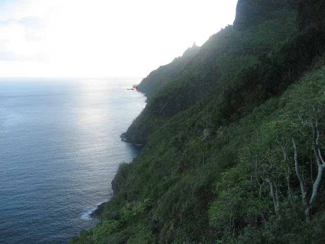
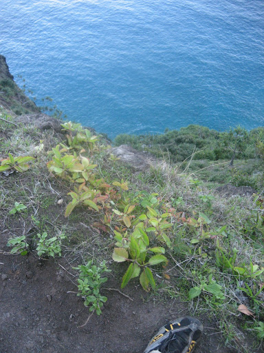
Looking off trail about 500-600 ft straight down to the surf
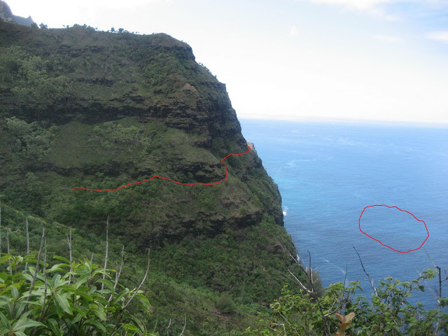
Trail follows aprroximate route marked. Most of the 11 mile route looks impassable as you look ahead, but the trail just clings to the steep hillsides. Red circle marks a pod of Spinner Dolphins which you cant see of course.
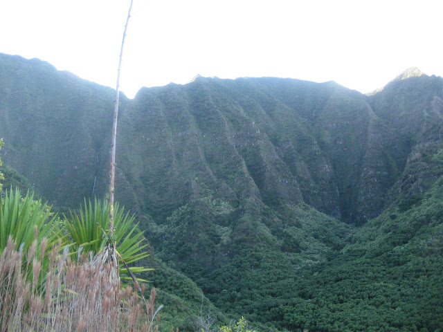
Awesome Hoolulu Valley, just one of several like it the trail passes through
Again, looking back down the coast to the start
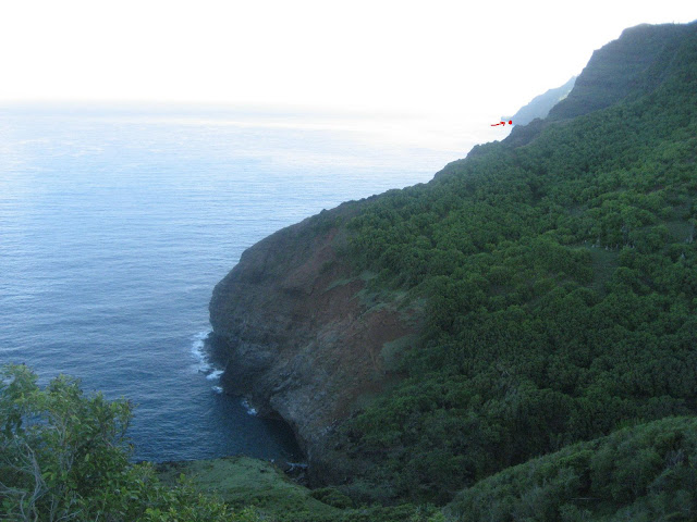
The start of the "infamous" sketchy" section around mile 8
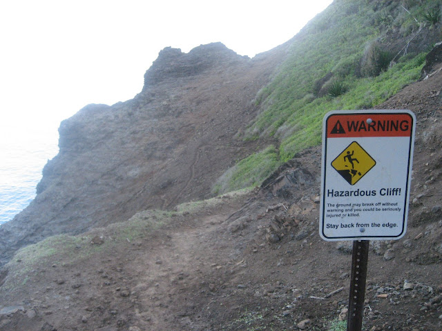
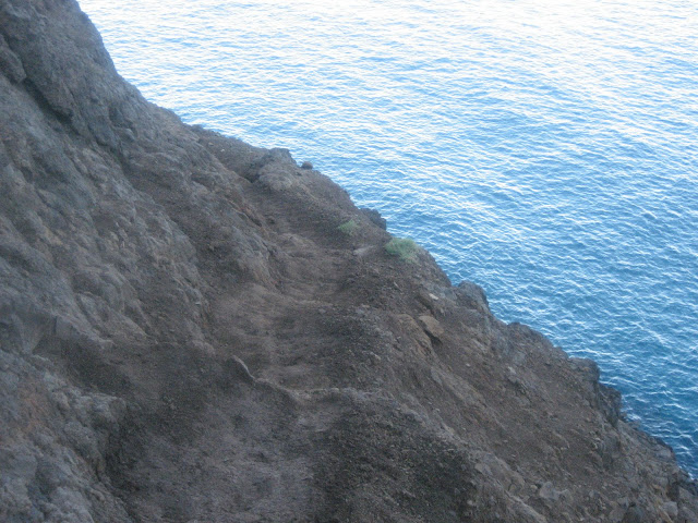
Looking down on the "scary" part. I saw 2 groups of backpackers almost crawling through here they were so freaked. Really not bad at all.
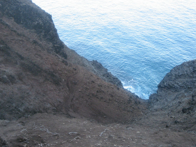
Close up of the worst section in this area
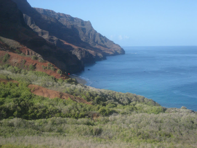
First good look at the beach and entrance to the Kalalau Valley. Red dot marks the spot of the waterfall in the next pic. About mile 9.
Most refreshing aid station I have ever been to! Mile 10.5
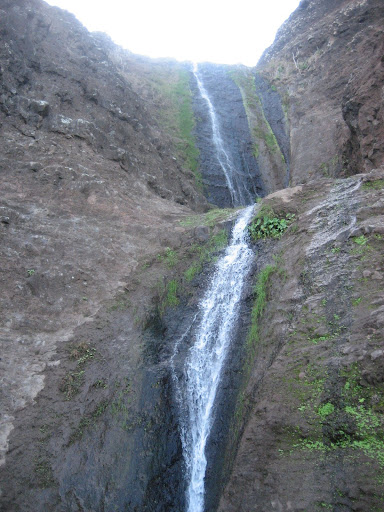
Looking out to the shore while standing at above waterfall. Yes, it was tough to take.
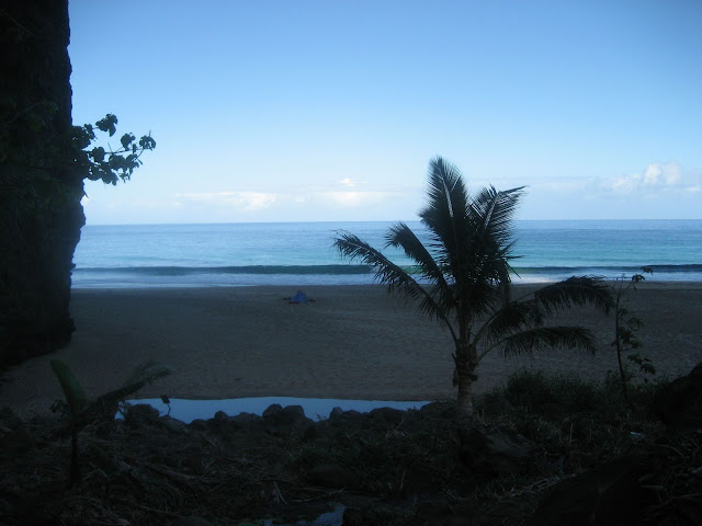
Looking down the beach at the head of the Kalalau Valley. One of the prettiest on the Islands, only requires a tough 11 mile hike (22 round trip) to get there.
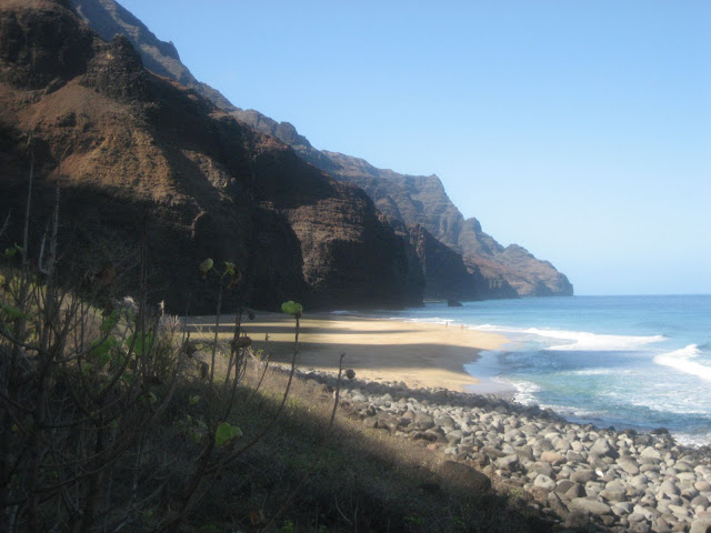
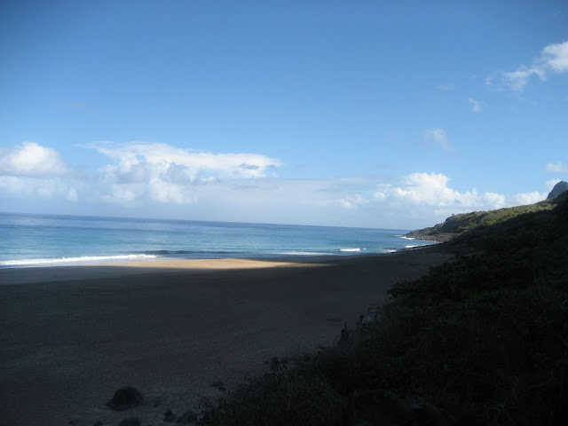
Same beach looking the other way.
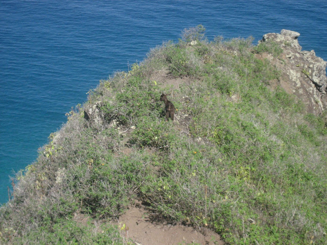
This little guy was running ahead of me on the trail for about 1/2 a mile unitl he found a detour. Lots of wild goats on the Napali, and lots of wild goat hunters at times.
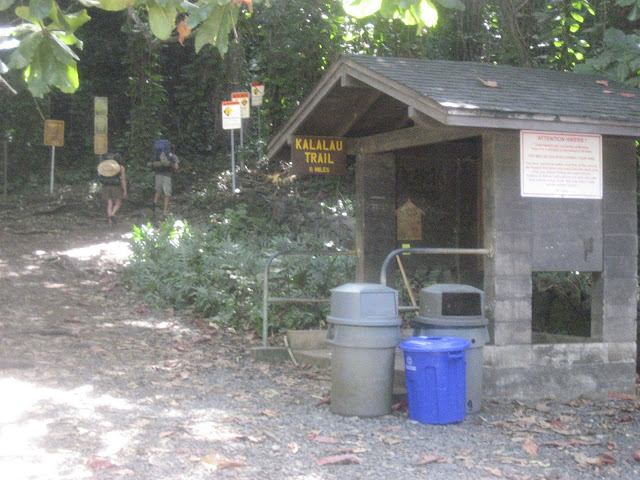
Trail head.
http://great-hikes.com/blog/kalalau-trail-map/
Well, running on vacation. This one has been on my list for a long time. I have spent a lot of time on the island of Kauai, add it all up and it’s probably the better part of a year. I have also spent a lot of time on the first half of the Kalalau trail. One trip it was to Hanakapiai Falls, well, more than one trip, as that is where everyone seems to want to go. Another trip was all the way out to Hoolulu Valley and the harder to get to falls above. Another time a friend and I made an attempt to get all the way out the end of the trail at Kalalau Valley, beach and waterfall. We made it about 2/3 of the way before we both ran out of gas and got low on water. Lots of false starts, but really it’s probably a good thing, trying to pull this run off before this year would have taken a full day and I would have suffered badly.
This year I was in shape for it, had great weather and would be going alone. All descriptions call it 22 miles round trip, my Garmin had it at just over 21 to the waterfall at the end of Kalalau beach. It cannot be overstated that this was the roughest 21 miles I have ever run. Hot, humid, not a breath of wind pretty much the whole way. There is not a single flat section of trail in 22 miles. Its either up or down, and I would guess maybe a mile of trail total has anything even approaching flat footing, like 10 feet here, 20 yards there. The vertical climb in the 21 miles is around 6000 ft. Rocks, roots, mud, slippery mud, runnelled out, overgrown, huge drop offs, exposure approaching what you would find in the Grand Canyon, but on much, much narrower and rougher trail. Its funny to read all the descriptions about how exposed the section is around mile 8, I guess folks notice it as this section has no trees and brush and you can actually see what is below you, funny because that section is really mellow compared to the stuff earlier on the trail, between Hanakpiai and Hooululu, in that section there is 20ft of vegetation clinging to a 60 degree slope between the trail and dropping 800 ft straight into the North shore surf, making the danger a little less obvious. The mileage and vertical might be a little less, but I would call the full out and back to Kalalau, harder than a Grand Canyon Rim to Rim.
Hard, but absolutely, stunningly beautiful. This is why I love running. It gets me to places quickly and efficiently that I might never see, or would have to take multiple days out of my family vacation to get to see. As it was, I made it out and back in time for lunch, taking just over 5 hours and 40 minutes, with about 30 minutes sight -seeing and trying to take it all in. There was really too much for a blow by blow on this one, leave it at a couple of close calls, lots of climbing, 110 oz of water, 4 EFS gel flasks, 15 Scaps, and when I got back to the trailhead, I jogged straight to the shower, you know the beach kind, and stood in the cold water for a good five minutes, but I don’t think I was any more soaked when I got out than when I went in, sweat took on a new meaning for me on this one. I’ll post the pics and a little more description when I get home. Check that one off the list, and add it to the bottom, because I am going to do that again for sure. If it’s not on your list, might suggest an addition.
|